Author Archives: Jeff C

The Road to Uaxactun (Guatemala)

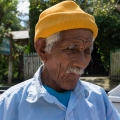
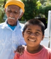
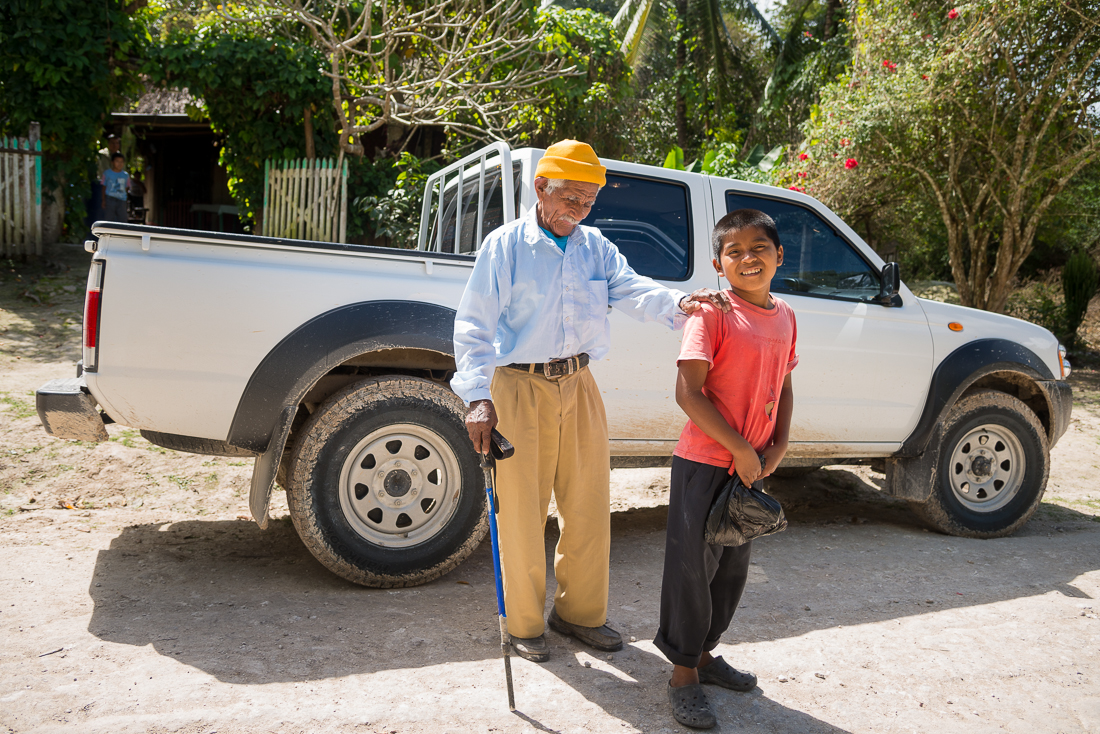
The muddy, bumpy, 14-mile trek to the town (and the archaeological sites) of Uaxuctun takes just over an hour.  So that’s how much time I got to spend with a blind, 100-year-old Guatemalan man named Julio and his great-grandson, Manuel.  For this stint in Guatemala, I chose a 4-wheel drive Nissan pickup with tinted windows.  I thought it might make it less obvious that I was a tourist and let me blend in with the locals a bit better.  Perhaps it worked better than I thought.

_JD86899

Julio, Manuel, and my rented Nissan


The only way to get to see the Mayan ruins at the isolated Guatemalan town of Uaxactun (“Wash-ack-TOON”) is to start at Tikal and head north into the wilderness over a dirt road so muddy and bumpy it’ll take you over an hour to travel 14 miles.

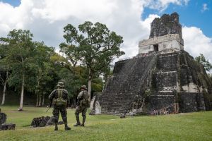
As I pulled up to the gate at Tikal to start the trip, four men (a park ranger, a couple of security guards and another man) approached my car – all smiling ear to ear.   One of them started to speak to me in Spanish, with another volunteering a sporadic translation.  “He says, would it be okay . . . if . . . you . . . could give a ride to an old man?  He can’t see.  He’s  . . . blind.  He needs to get to Uaxactun.”  Uh…Okay.  I should point out (solely to convey the image – not because it’s particularly relevant) that, as was often true at a Guatemalan checkpoint of this sort, some of the people involved (not me) were toting shotguns and wearing a belt-full of shotgun shells (handguns were a rarity, even for policemen).  I look over and see an ANCIENT blind man now tottering toward the car.  I hear someone saying the phrase “tienes cien ANOS” (“he’s 100 years old”).  I hop out, shake his hand, and try to introduce myself to the sweet old blind guy, only to realize that he’s also mostly deaf.  Someone else tells me his name is Julio.

I gulp just a little at the responsibility I’m undertaking with a 100-year-old blind man in my car for a long drive through an unfamiliar muddy, rocky and isolated jungle road.  Worse, as I get instructions for where to drop him off, the pivotal landmark seems to be the first “chicle” tree as I come into town.  At this point, I see a ten-year-old kid starting to climb in the back of my truck.  It’s apparently Julio’s grandson (“Manuel”).  Somehow I’m relieved that Julio would have a caretaker (even a tiny one), though now I have two hitchhikers, neither of whom would be any help whatsoever if I got stuck along the road to Uaxactun.  I assume, at least, that Manuel will recognize where to stop to drop him and Julio off.  I insist that Manuel come around and ride INSIDE the truck with Julio and me.

They load up (sitting together in the back seat), and I pull forward about fifty feet to the gate, where I am met by another guard, who asks if I have the permit to take the car (truck) through the National Park.  Crap.  I’ve got a carload of Guatemalan dependents, and now I have to drive back to the “Administration” office and get a permit.  As an aside:  One would think that said office might be near the ROAD, right?  It is not.  I drive a ways, park (leaving the boys in the truck with the windows down), and walk the hundred yards or so up the hill to get my permit.  Of course the man who writes out my permit (slowly) has a shotgun across his lap, but he’s otherwise friendly enough.  Soon I’m headed back to the car, permit in hand.  Julio and Manuel are as patient as can be.

It probably goes without saying that little Manuel does not speak a word of English.  As we travel, I slowly formulate questions (carefully selecting from the short list of Spanish words I actually know).  Manuel usually understands me okay, then rips out a rapid-fire (elaborate) response, of which I can usually understand maybe 20%.  I learn names (Manuel and Julio), ages (10 and 100, according to Manuel).  I triple-check the report on Julio’s ago (“?Cien anos?!!”).  I learn that they both live together with their family in Uaxactun, and that Julio is some sort of abuelo (grandfather) to Manuel.  I think maybe he was saying it’s his great- or great-great-  grandfather (which might make sense, if it’s really 90-year age gap).  I can’t figure out Manuel’s response about the reason they were in Tikal to start with.  Manuel teaches me the word(s) for “bumpy” roads – (“lleno de baches” – full of holes), which was a very relevant and useful phrase at the time.

There is absolutely nothing along the road to Uaxactun: no intersections; no forks; no houses; no businesses.  Nothing – except two signs reassuring me I’m still on the road to Uaxactun.  And the jungle.  We meet one other truck.  I later learn that Uaxactun is notable – even among Guatemalans of the area – as a poor community.  No electricity or running water (I see various systems for collecting rainwater though.)  No phones.  Apparently the residents are rather famous for their knowledge of the trees and bushes and berries and fruits of the jungle, for both nutritional and medicinal uses.

After about an hour, we see the first house at the edge of town.  Manuel gets animated, and when I hear “aqui” (“Here!) a couple of times, I stop the car.  We rush around to help his grandpa, and of course I also grab my camera.  Julio pauses for a moment, but I don’t think he understood I wanted to take pictures (photography probably isn’t a very important concept to a blind man?).  So they don’t stand still for long.  I shook each of their hands and stammered out a Spanish “Goodbye – nice to meet you.”  I wanted to follow them, but giving a hitchhiker a ride doesn’t automatically earn you an entry into their home, and neither of them was really even capable of inviting me.  I yelled out one more Adios as they headed down the path.

======

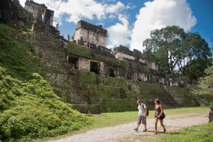
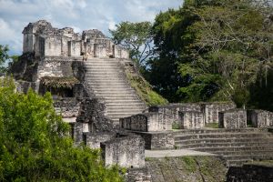
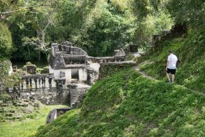
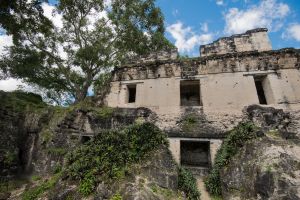
The archaeologic sites at Uaxactun don’t really compare to Tikal – or even to Yaxha.  But it was interesting enough and, much as at Yaxha, I pretty much had the place to myself, with two exceptions.  The first was a dreadlocked white guy who spoke perfect English and said he was from Hungary.  He was sitting on the ground in front of one of the more remote temples.  I’m pretty sure he’d been smoking something.  When I spoke to him, somehow he started giving me tips about bargain basement airfares to and from Cancun.

_JCE2041

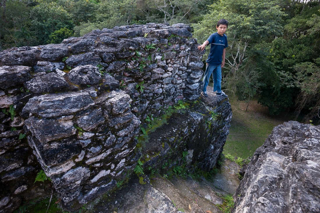
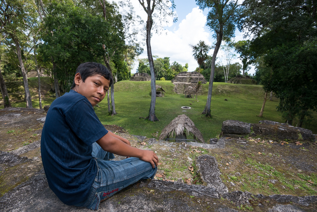
The other person I ran across was a twelve-year-old boy who popped up from behind one of the first monuments I saw.  He introduced himself as a tour guide, available for hire.  He spoke no English, but was still eager to show me around.  We negotiated a generous guide fee for him (Why not, right?), and then spent the next couple of hours with him leading me from site to site.  That’s Manolo in the dark blue shirt.  The kid was sharp.  He showed me some of the plants and trees that are used for medicinal and other purposes, and coaxed a tarantula out of its hole for my, uh, amusement.  More than anything, he knew how to climb around every nook and cranny on the site.  His entertainment was more than worth the 100 Quetzal ($12US) I paid him.

It turned out that Manolo’s mom was working back in Tikal – selling souvenirs right at the entrance.  (I’d seen her that morning!).  He asked for a ride.  I declined, telling him that I wasn’t able to take a small boy to a faraway town without his mom or dad’s permission (or at least that’s what I tried to communicate).  Manolo had an answer – I took him back to his home, where there was an English-speaking uncle who readily agreed that Manolo did need to get to Tikal.  In fact, the uncle wanted a ride, too.  I was practically running a bus service!

_JCE2123

All went smoothly on the drive back to Tikal.  The English-speaking uncle actually worked part-time as a real tour guide in Tikal, so I had an hour to quiz a knowledgeable local about all sorts of history and customs.  Admittedly, the ruins at Uaxactun were a little anti-climactic after I’d spent the prior days at Tikal and Yaxha, but my hitchhikers surely made it worth the trip.  As the old cliche says, sometimes the journey is more important than the destination.  
I didn’t know it at the time, but ‘karma’ was about to reward me for my day spent bus-driving.  That night I was planning to try to get a very rare opportunity to photograph the temples  of Tikal at night.  


Tikal, Guatemala: After Dark in the Great Plaza

Over a thousand years ago, the temples and altars of Tikal’s Great Plaza were the site of gruesome rituals of human sacrifice.  At night, there are no lights, and the low, scream-like roar of howler monkeys fills the air.  It’s an eerie place to be when the grounds are deserted and the sky is dark.

_JCE2417

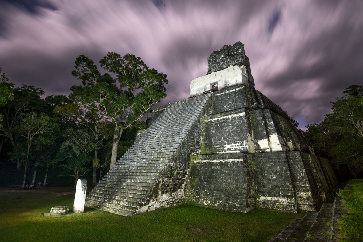
Tikal Temple II

It’s an amazing experience – at any hour – to be amid Mayan temples that have stood more than a millennia.  Friday night I had the chance to be essentially alone there after dark and after the park had officially closed, with the chance to make the whole place my private photo studio.  Though I lit up the temples for these pictures, in reality there were no lights except a half moon and our handheld flashlights.

_JCE2429

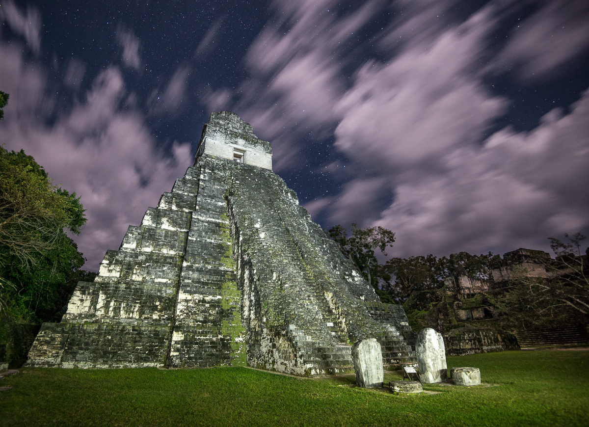
Tikal Temple I

Tikal National Park is Guatemala’s most popular; it enshrines some of the most famous and prominent remnants of the ancient Mayan World.  At Tikal’s center are the temples of the Grand Plaza.  Each day, hundreds (sometimes thousands) of visitors tour the park.  Each evening, a few dozen stay ‘til dusk to watch the sun set behind the Temples.  I stayed even later – until it was truly dark and everyone else had gone home.  Two park rangers waited patiently (sort of) and escorted me (and my local guide, “Henry”) out of the park long after they’d done their nightly sweep of the grounds to make sure no one else was left on the grounds.

_JCE2443

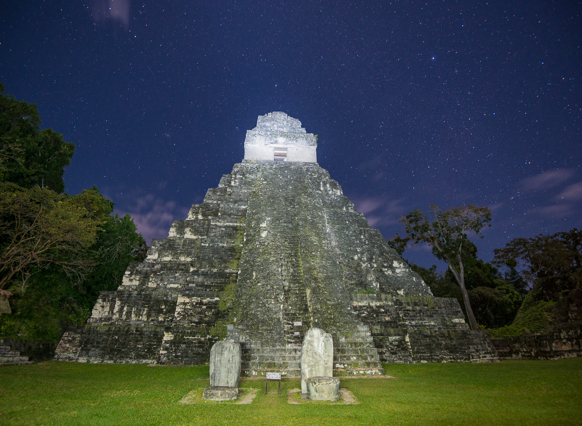
Temple I


Those night-time images aren’t Photoshop tricks.  Henry and I were giddily watching them show up on the back of the camera as we moved my big tripod around the Grand Plaza in the dark.  There is no electricity and no lighting at the Temples, so the light on the temples is from his flashlight, which I borrowed and used to “paint” light on the stones and trees during the long 30-second (or so) exposures).  The streaks in the sky are clouds; in that amount of time, they moved quite a bit (happily, the stars did not).  I haven’t picked a favorite image yet – I still can’t quite believe I was there.

_JCE2310

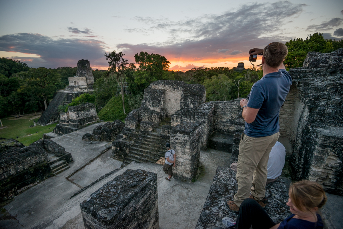
Sunset from Tikal’s Northern Acropolis

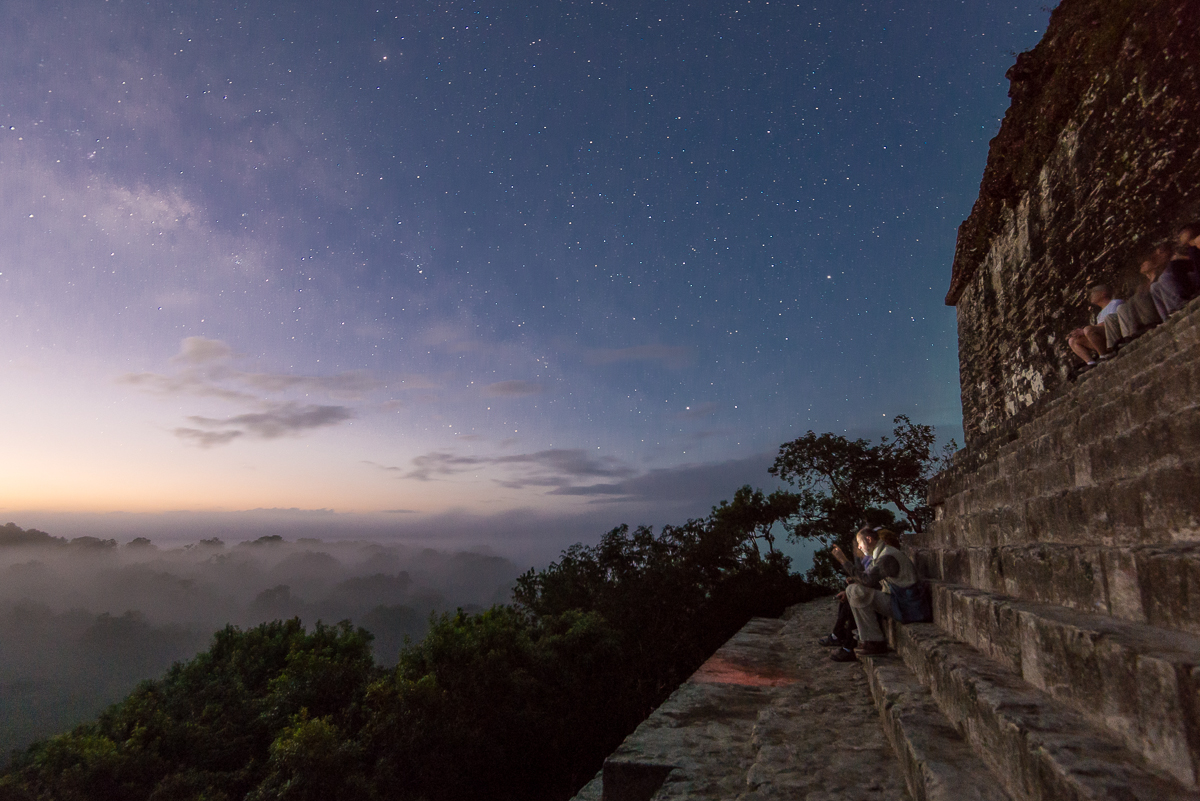
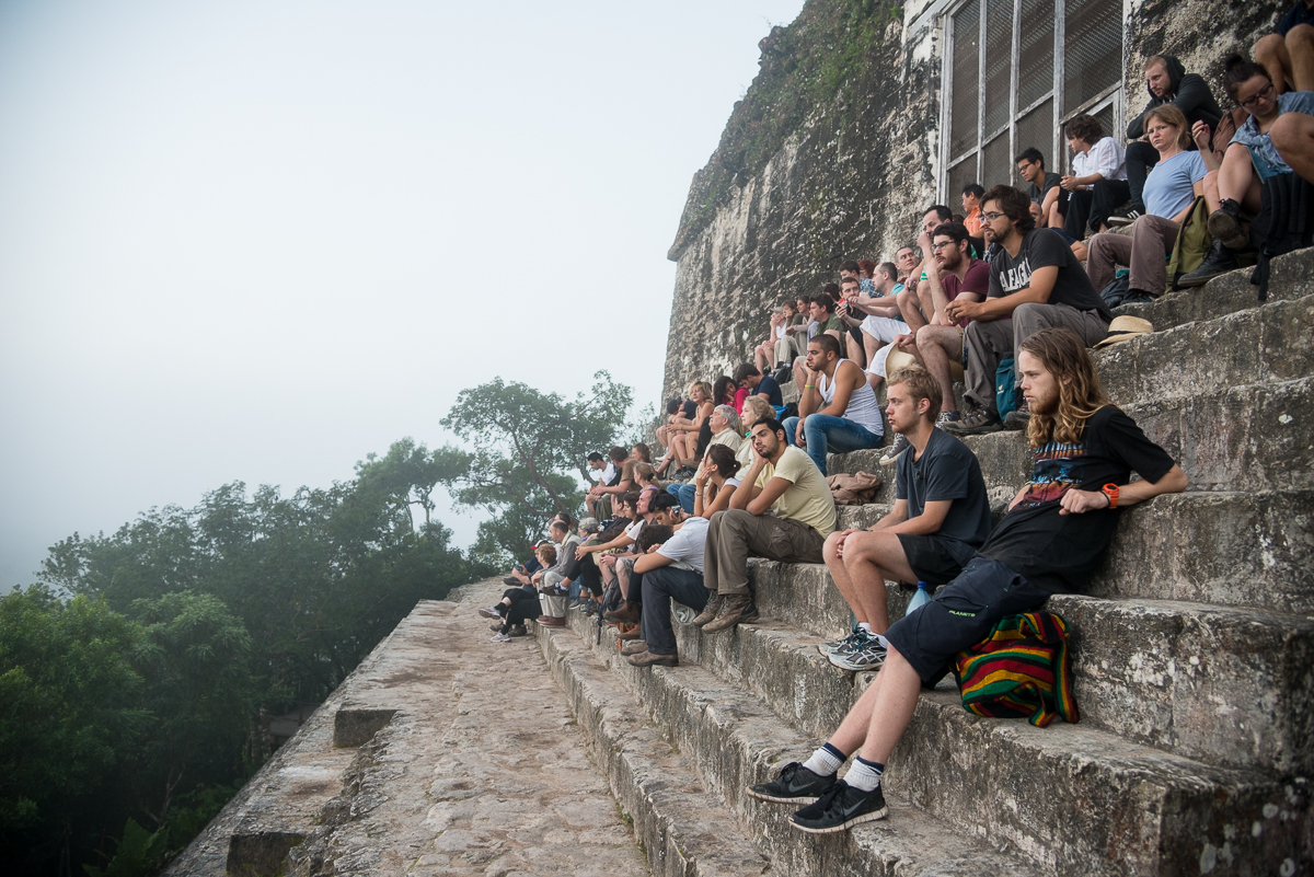
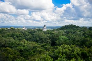
All this capped off a long day:  I’d been in the park at 4:30 a.m., too, in the pre-dawn darkness.   Each morning a few dozen folks climb to the top of Temple IV to watch the sun rise over the Grand Plaza.   I got there extra-early, and just in time to get a couple of shots before clouds and fog took over the entire view.  By the time the rest of the sunrise “crowd” arrived, there wasn’t much left to see (bottom).

_JCE1950

Tikal’s Temple IV, just before dawn.

_JD86850

Foggy sunrise, Tikal Temple IV

Through the middle of the day, I’d driven through the jungle to see the ruins at the town of Uaxactun.  Mostly by accident, I’d wound giving rides to four locals, including a 100-year-old blind man who needed to get home to  Uaxactun.  Normally the guards at Tikal would never have let me stay at the temples at night (which is why  you never see nighttime pictures).  But they were the same guards who’d asked a favor of me earlier in the day and who’d seen me doing multiple favors that day for locals.   So they sat patiently for at least an hour, giving me a once-in-a-lifetime photo opportunity.


Laundry Day: Peten, Guatemala

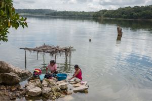
Between the archaeological sites celebrating ancient Mayan grandeur is the real world of modern-day rural Guatemala.

_JD86642

Peden, Guatemala

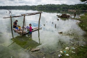
I took a short diversion off the highway between Tikal, Guatemala and the Belize border, heading down a randomly chosen side road just to see what I would see.  I quickly came upon a plain little lake, with a tiny community on its southwest shore.

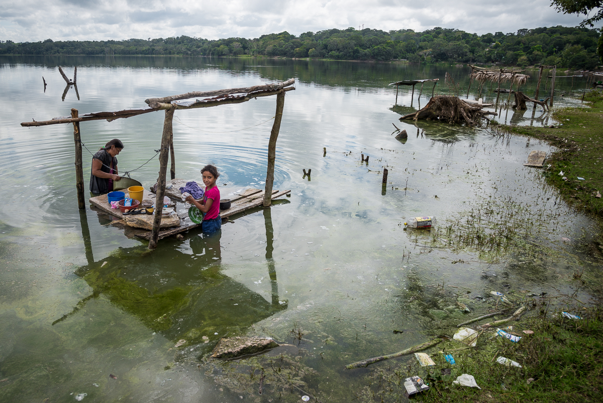
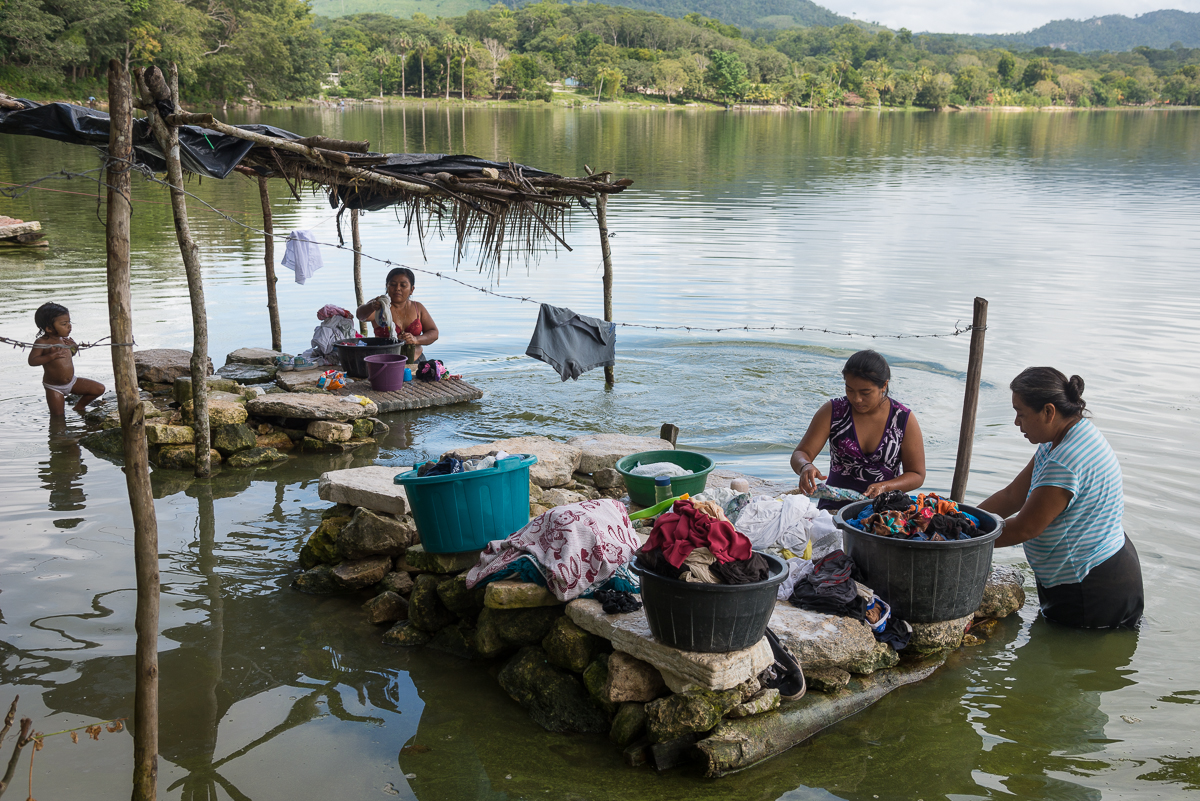
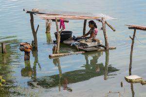
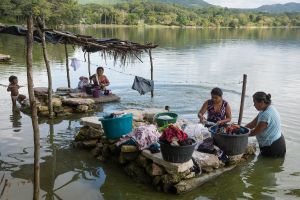
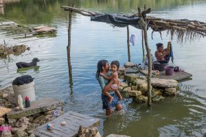
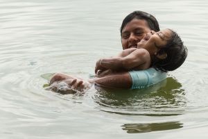
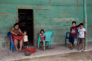
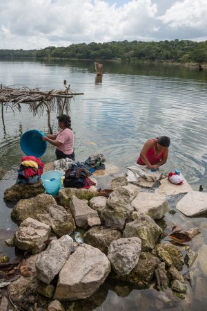
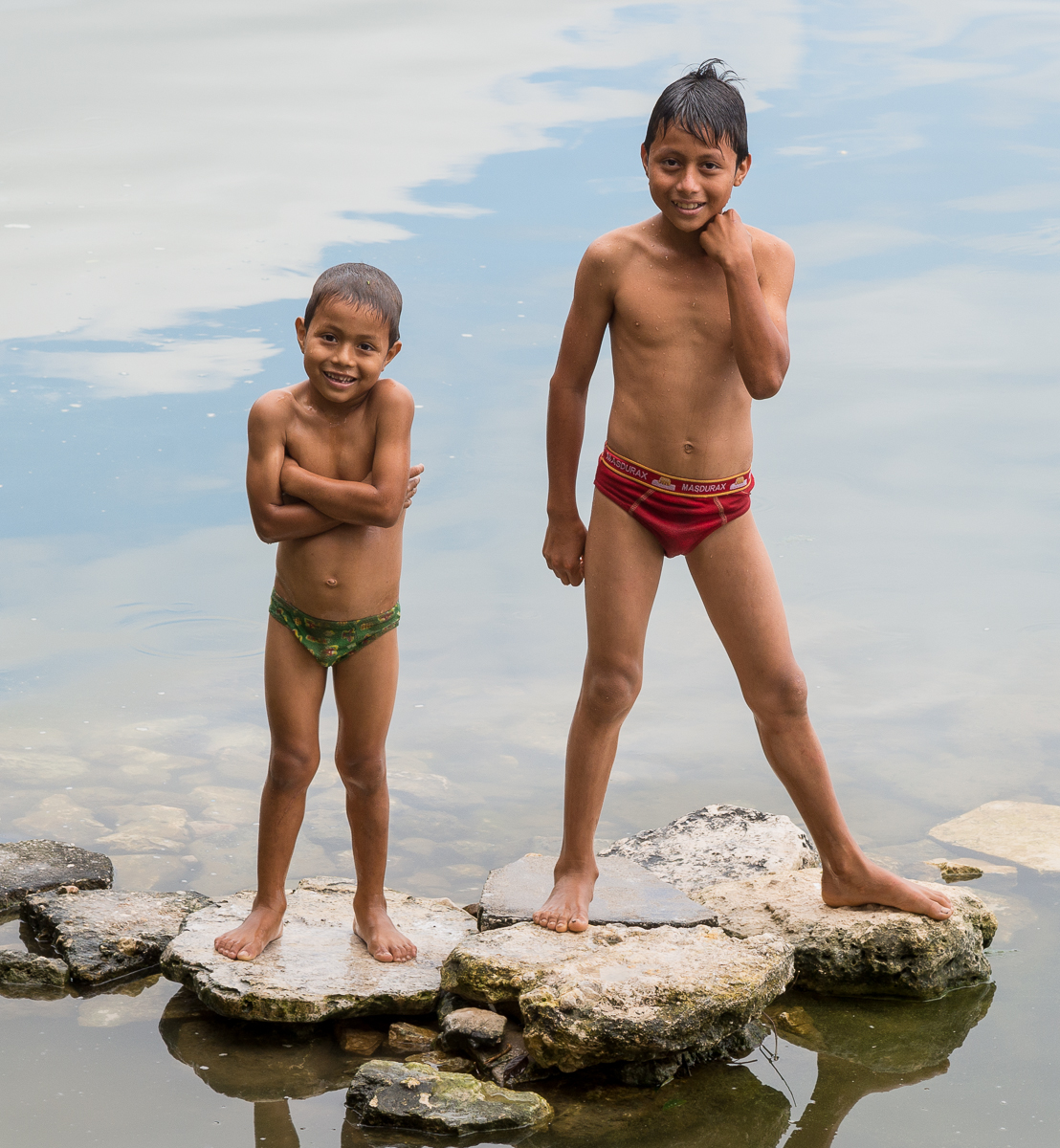
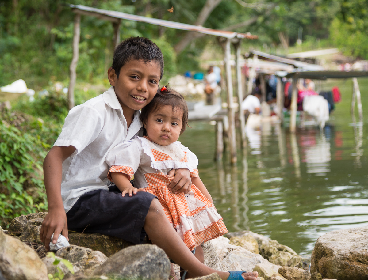
In the edge of the lake, in waist-deep water, were fifteen or so little thatch-top huts, most of which had a table-like flat board right at water level.   About half of the little huts were in use:  with women (and children) doing their laundry by scrubbing their clothes on those boards in the lake water.  The village had no electricity and no running water.

_JD86530

Peden, Guatemala

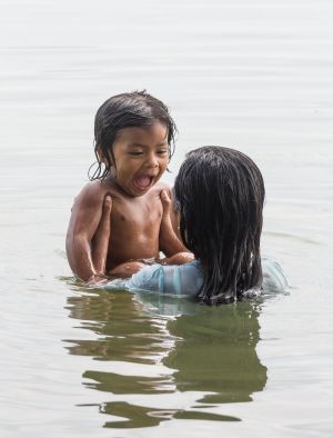
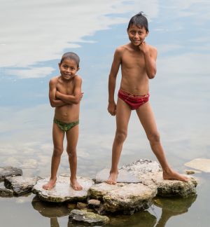
What would strike you most about this is the water.  You can see in some of the pictures that it’s murky, with lots of green slime near the shore, and with trash floating or piled up on the shore.  This is what they’re using to CLEAN their clothes.  It must work better than you’d think, because their clothes seem clean enough.  Meanwhile, the kids were happily swimming alongside the laundry zone.  There were almost no men around, so I’d guess they were mostly off at work somewhere.

As I first made my way through the trees to the lake, I wasn’t sure I’d be welcome.  I just waved, smiled, tried out my pitiful Spanish (“Ola!  Su lago es muy bonito!  Puedo hacer algunes fotos?”), and tried to act like it was the most normal thing in the world for a gringo to wander through the trees with a state-of-the-art camera.  I decided to pet one of their dogs so I’d seem friendly, which resulted in my being bitten from behind by a dog not being petted.  (Happily it did not break the skin!).  The humans were much more receptive:  bashful at first, but only a couple said (or motioned) that they didn’t want their pictures taken.  As usual, most seemed eager or flattered.

_JD86480.jpg_JD86530.jpg_JD86536.jpg_JD86549.jpg_JD86561.jpg_JD86592.jpg_JD86614.jpg_JD86642.jpg_JD86657.jpg_JD86685.jpg_JD86689.jpg_JD86741.jpg


_JD86689


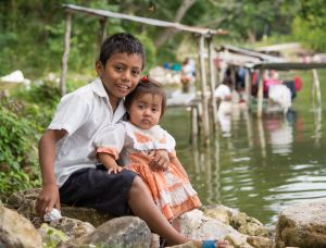
It’s sobering to see how these folks live.  And it’s pictures like this that will remind me, in the future, to make that turn off the main road, and to be brave enough to hop out of the car and walk toward whatever looks interesting.

 _JD86741

SCUBA School! San Pedro, Belize

IMG_1226

When I started planning this trip to Belize and mentioned that I’d try to get my SCUBA certification while I was here, pretty much every person I said this to responded, “What?  You don’t already have that?”  So I guess this was something I was supposed to do (or to have done already).

IMG_1446

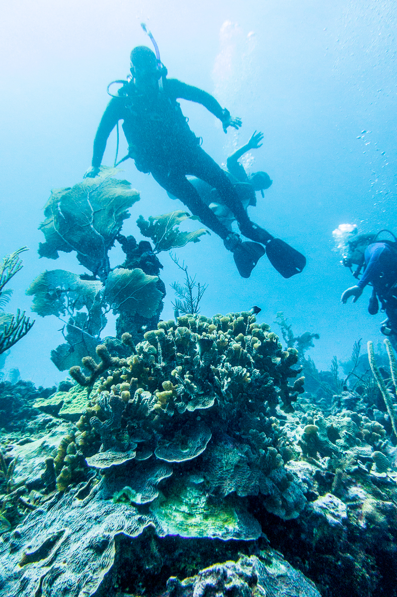
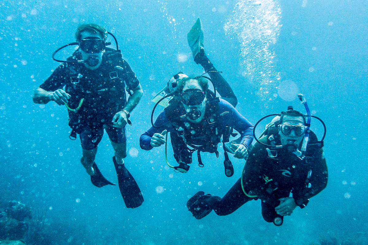
If you’ve ever been tempted to learn to SCUBA, let me endorse a plan.  I did the “written” part online (at home), then did the pool sessions in two afternoons in Houston.  Then I did my open water qualification dives in some of this hemisphere’s best SCUBA country — the reef just off Ambergris Cay, near San Pedro, Belize.  We covered the required skills, but 80% of the time, we were just swimming around enjoying the sights.  I got paired up with a group of fun Canadians who made their living building fancy vacation homes in zero degree weather.  They were happy to be in sunny Belize.

IMG_1361

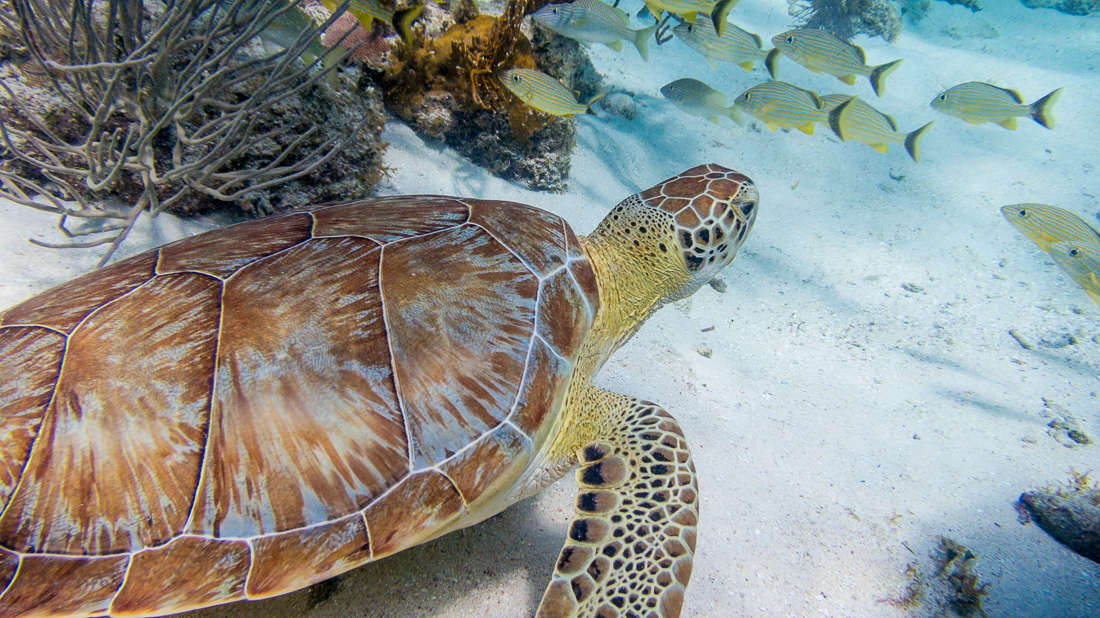
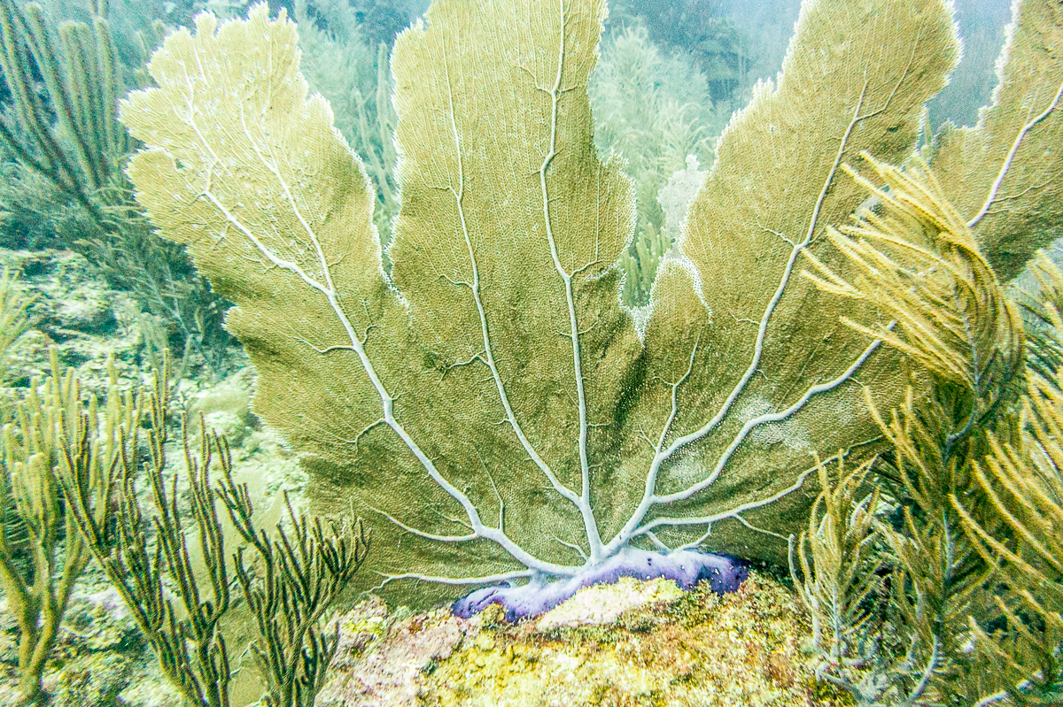
Yes, those are sharks.  We saw several — I’d been in the water about ten seconds when I saw my first one.  They’re harmless (to us) nurse sharks.  I liked the yellow turtle the most:  that thing was nearly three feet in diameter!  All in all some pretty amazing sights to be seen just 60 feet or so below the waves.  A big shout-out to my instructor, Gilbert, at Chuck & Robbie’s Dive Center in San Pedro.  (That’s me in the last picture in the grid — photo credit for that one goes to one or the other of my underwater Canadian buddies.)

Camera folks:  I used my “pocket” Canon S100, and bought Canon’s dedicated WP-DC43 underwater housing — which is not expensive at all relative to a DSLR housing.  It’s got at least a dozen buttons and knobs, so literally every menu and adjustment is available, down to 130 ft.  It worked great for my purposes.  As you can see, when you get deep, it gets very blue, so you MUST shoot in RAW and crank the white balance a ton (add lots of yellow and a ton of magenta!).  Get super-close.

IMG_1345

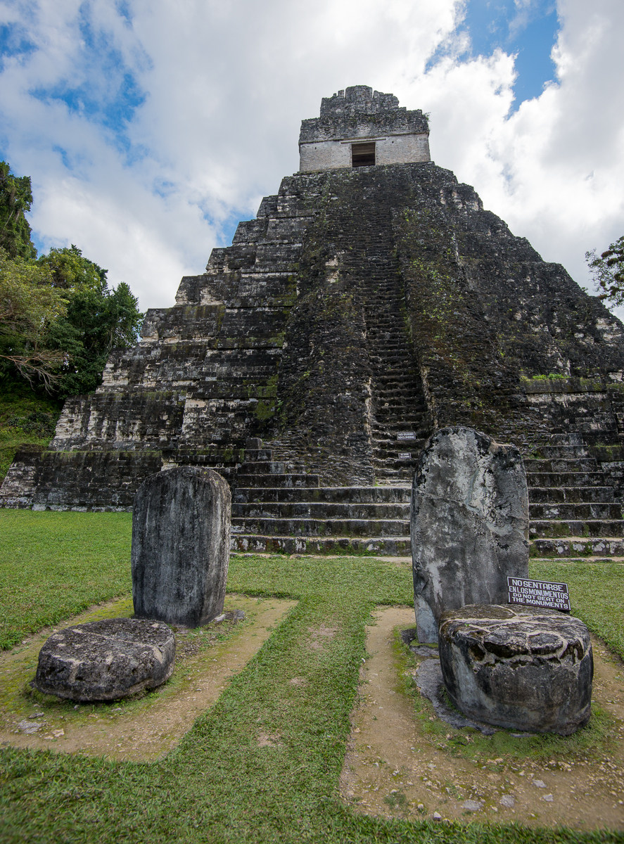
Tikal, Guatemala: A Glimpse of the Americas in 900 A.D.

Some big piles of rocks in a Guatemalan jungle may change your thinking about “American” history.

_JCE1101

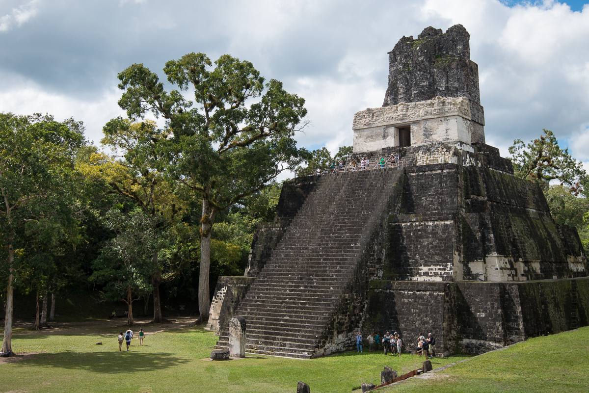
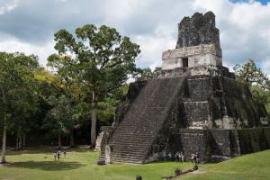
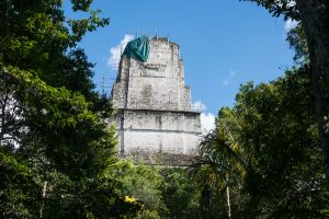
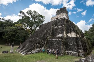
Tikal, Guatemala — Temple II

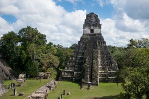
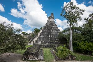
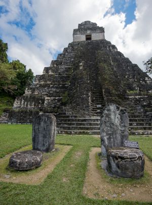
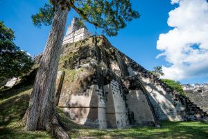
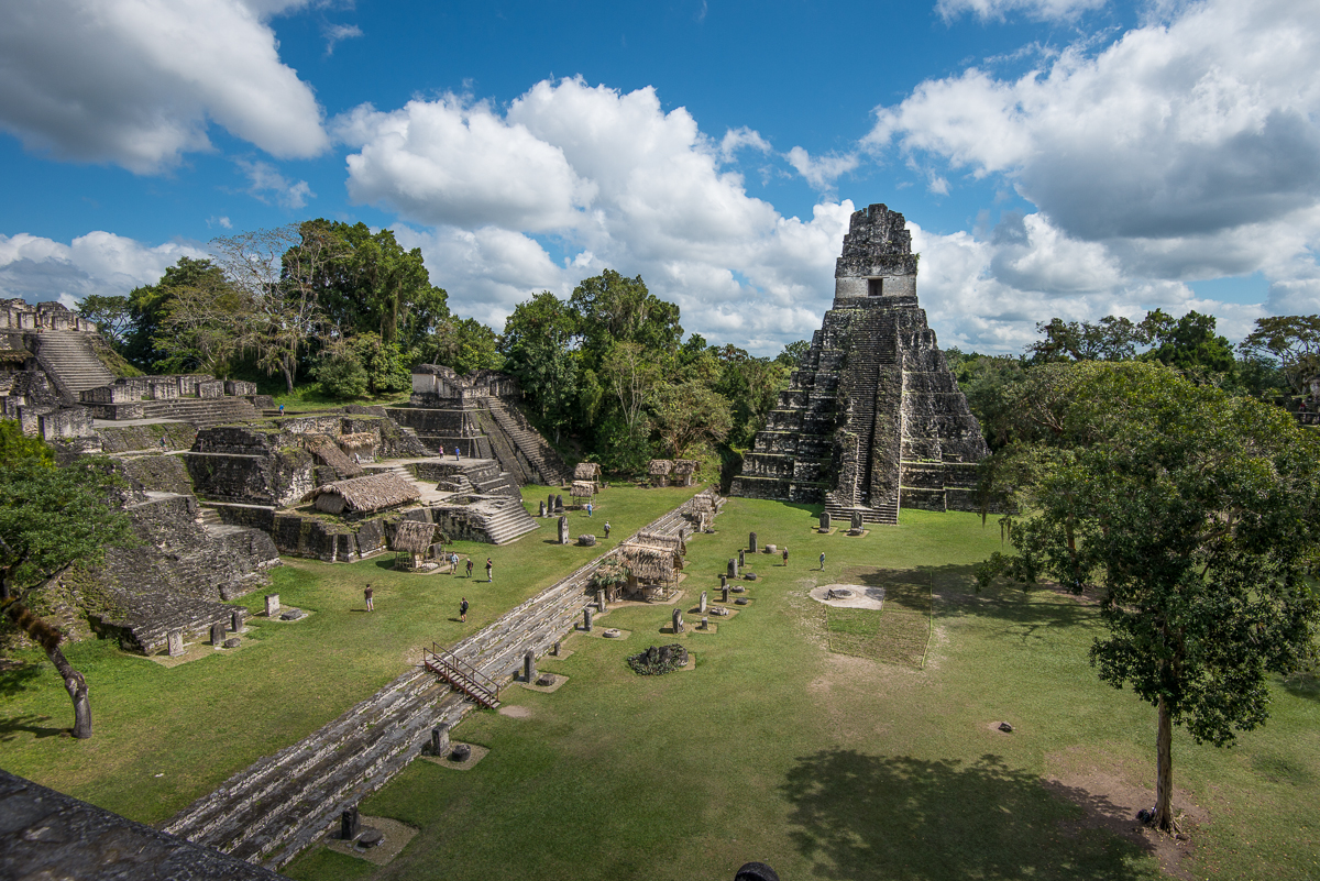
In the year 800 or so, Tikal was a city of nearly 100,000 Mayan people, set in the northeast part of what is now Guatemala.  Huge temples and plazas were the centerpiece of the city; farmers tended the fields for miles in every direction.  The society collapsed around the year 900, for reasons no one fully knows for sure, and the huge structures were quickly swallowed up by the jungle until they were rediscovered and revealed by archaeologists 1,000 years later.

_JD85312

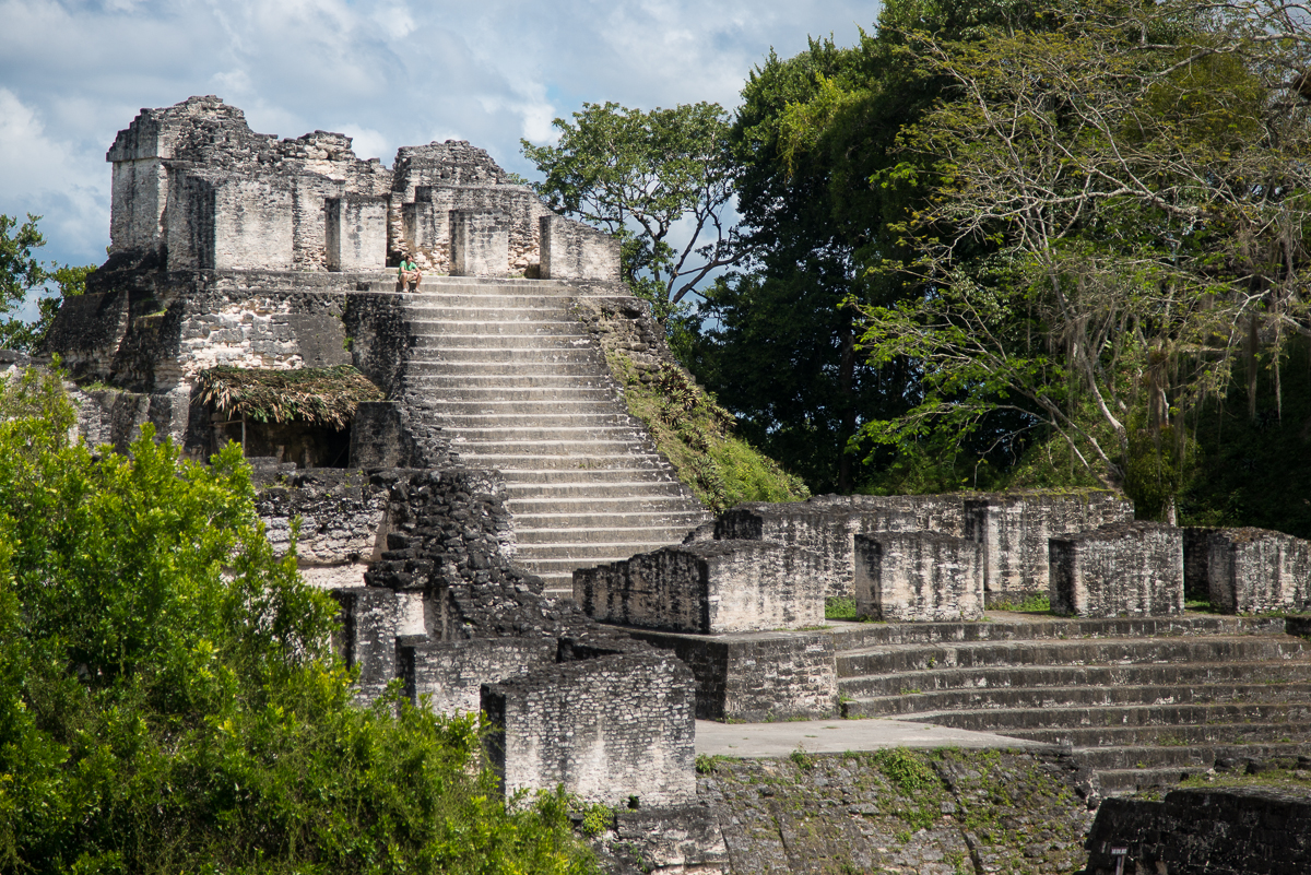
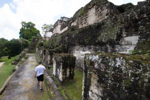
Tikal – Northern Acropolis

 If your image of our continent’s early history is mostly teepees and arrowheads, you’ll be pretty impressed by places like Tikal.  Most of us (including, I think, many Native Americans themselves) picture the American continents’ indigenous peoples as mostly hunters and gatherers in sparsely populated environments, living lightly on the land with modest agriculture and minimal construction.  If that’s the image in your head, a trip to a place like Tikal, Guatemala will change your assumptions.  Before the end of the first millennium A.D., there were tens of millions of people in the Americas, including huge cities and huge structures in what are now Mexico, central and South America.*

_JCE1072

Exactly what happened to all those ancient “Americans” is a bit of a mystery, but at least a part of the answer is smallpox.  The first European explorers – themselves largely immune due to generations of exposure – inadvertently brought the smallpox virus when they landed in the New World.  The virus spread faster than the European explorers did, so by the time (decades or even centuries later) most of the region was seen by Europeans, most of the “natives” were already dead from disease.  By some estimates, 95% of the continents’ population – perhaps a fifth of the world’s population — died in a wave of smallpox.  What European explorers “discovered” as they probed the continents were the minimal remnants of civilizations that had been as big (and in many ways as advanced) as those in Europe, Asia and the Middle East.  Tikal was already six feet under (literally) the jungle floor.

c8-_JD85254.jpgc41-_JD85290.jpgc34-_JD85384.jpgc24-_JD85312.jpgc32-_JCE1099.jpgc1-_JD85354.jpgc32-_JCE1101.jpgc15-_JCE1185.jpgc9-_JD85376.jpgc45-_JD85374.jpgc48-_JCE1303.jpgc57-_JD85460.jpgc62-_JCE1257.jpgc69-_JCE1086.jpgc84-_JCE1178.jpgc96-_JCE1072.jpgc72-_JCE1339.jpgc66-_JCE1135.jpg

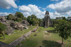
Though Tikal had apparently seen its decline before the smallpox era, the site will certainly give a glimpse of the degree of “civilization” that existed on our own continent long before Columbus stumbled upon it.  Besides the sheer number of walls and buildings and monuments, the most striking features are the big temples – meso-American pyramids.  A similar temple at one of the Mayan sites in nearby Belize is, to this day, the tallest manmade structure in that country.

_JD85374

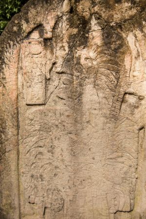
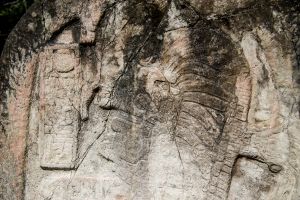
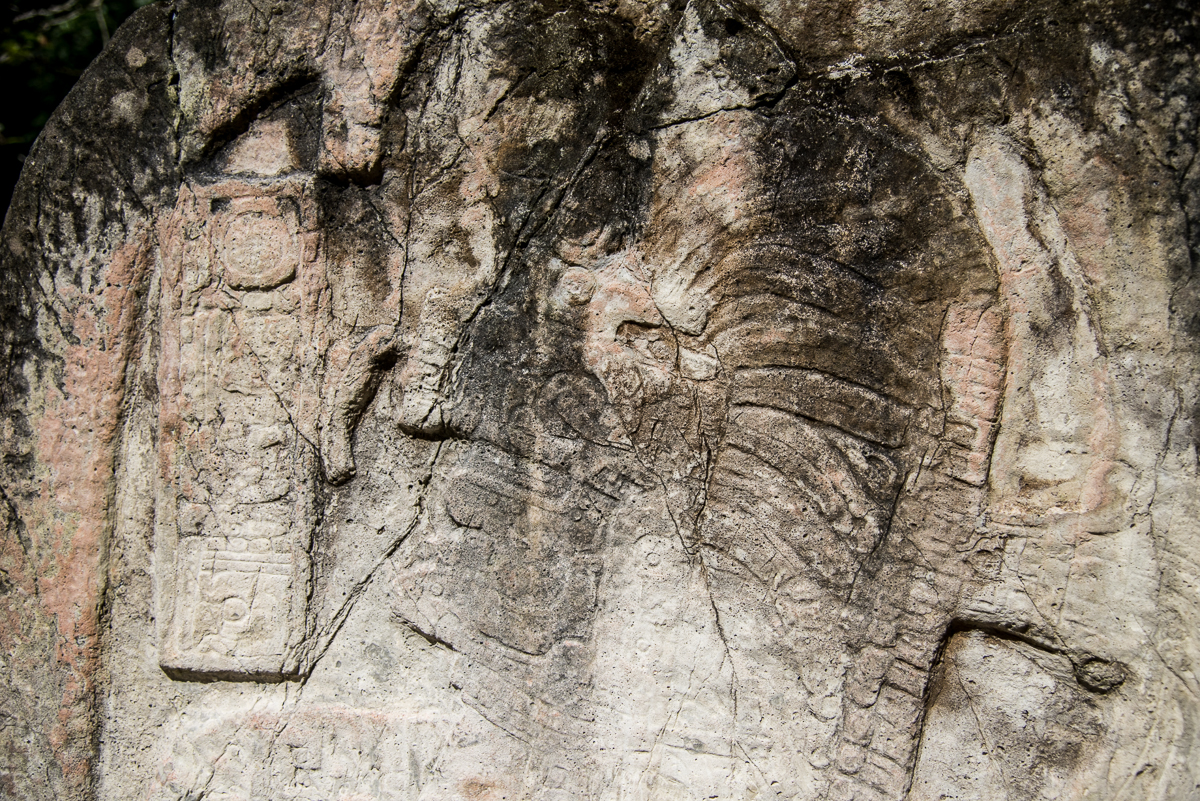
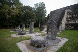
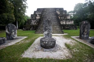
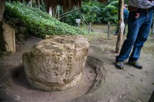
Tikal — Stone monument detail

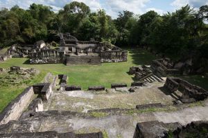
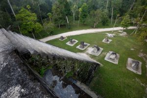
Tikal – Grand Plaza (from Temple II)

This was my first trip to Guatemala, and I was surely impressed.  More to come from Central America…

= = = =

Update:  A few more daylight images from my return to Tikal a week later.  Night time images are here.

_JCE1988.jpg_JCE1993.jpg_JCE2015.jpg_JD86865.jpg